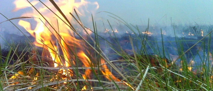
Wildfire danger surges across state
by February 27, 2024 7:21 pm 589 views

Parts of the state are under moderate drought or abnormally dry conditions, according to the U.S. Drought Monitor, and the lack of rain has led to elevated wildfire risks statewide.
The Arkansas Department of Agriculture’s Forestry Division reported that 14 counties are under a burn ban.
The Forestry Division maintains a county-by-county map that identifies wildfire danger risk levels, burn bans, and prescribed burns. All the counties in Northeast Arkansas are either under a burn ban or under the high danger level designation. Find the map here.
“Conditions are dry with low humidity statewide, and we are forecasted to experience periods of high winds in the coming days,” said State Forester Kyle Cunningham. “We are seeing an increase in the number of wildfires and their intensity, and that’s a trend that will continue until we see significant rainfall. With this in mind, we are asking citizens of the state to be mindful of this risk and avoid burning.”
Wildfire danger is broken down into four risk levels: low, moderate, high, and extreme. Risk levels are determined by drought status and long-term weather forecasts and are defined by how easily fires can start and how hard they are to contain.
Currently, 42 counties in the state have been given the “high” designation, while the rest of the state remains under “moderate” risk levels.
The following 14 counties are under burn bans: Ashley, Carroll, Columbia, Faulkner, Fulton, Independence, Madison, Ouachita, Phillips, Searcy, Sharp, Union, Van Buren, and White. Burn bans primarily prohibit activities that involve an open flame. This includes fireworks, campfires, trash burning, open flame grilling, and prescribed or controlled burns.
The Forestry Division is asking those who see fires to report them by calling 1-800-468-8834 and to avoid flying drones in the area. When drones are present, those fighting the fires are unable to perform detection flights or fly single engine airtankers (SEATs) to drop water.
