Governor announces completion of state digital mapping project
by January 2, 2018 2:55 pm 749 views
Arkansas has completed an update of digital maps for each of its 75 counties, according to a press release from the Governor’s Office.
County officials now have access to updated aerial maps, showing new infrastructure and developments, in addition to water, power and gas lines and administrative boundaries such as school districts and city boundaries. The new maps will “better prepare counties for future infrastructure and economic development projects, as well as provide for faster response times from local law enforcement and emergency personnel,” according to the release.
Gov. Asa Hutchinson announced the completion of the months-long mapping project at a news conference Dec. 27 at the Madison County Courthouse in Huntsville, where he delivered in a ceremony following the announcement the final set of maps to county officials. He was joined by Shelby Johnson, state geographic information officer.
“The face of Arkansas is changing rapidly,” Hutchinson said in the release. “Counties all over the state are building new roads, widening existing highways, adding businesses, homes and developing entirely new neighborhoods. Having an up-to-date, detailed map of our state is a key tool for economic development and expanding infrastructure as our state continues to grow.
“Additionally, these updated maps will greatly assist first responders in emergency situations when a speedy response by law-enforcement agencies and rescue crews can mean the difference between life and death. This is a much-needed upgrade to our system of state maps, and I applaud Shelby and his team for completing the project in such a timely and efficient manner.”
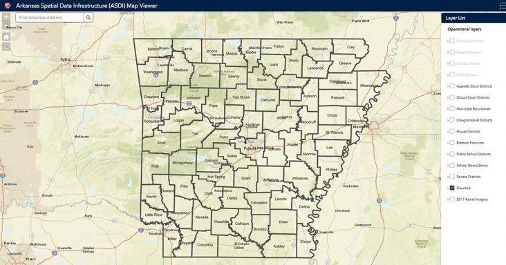
The maps can be viewed online here, by scrolling to the bottom of the list of layers and clicking the box for “2017 aerial imagery.”
The aerial images were captured with digital orthophotography, which encodes latitude and longitude coordinates into images for use in geographic imaging, according to the press release.
“I’m proud this project came together so smoothly,” Johnson said in the release. “We know our partners in local and state government needed new imagery for their mapping purposes, and, as they say, a picture is worth a thousand words. It is especially rewarding for me to know this imagery will be put to work in 911 systems all over the state and save lives.”