Arkansas’ forestland continues to grow
by September 11, 2017 4:27 pm 718 views

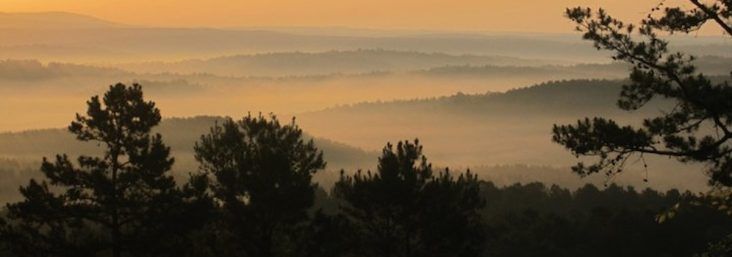
Arkansas has 19 million forested acres about 56% of the state’s total land area, according to the Forest Inventory and Analysis (FIA) program. The state has 11.9 billion trees, and since 1978 the state’s forestland has increased by about 1 million acres.
The state has the largest national forest area with 2.5 million acres in the Ouachita and Ozark-St. Francis National forests.
FIA is a collaborative partnership between the U. S. Forest Service Southern Research Station. FIA foresters work with the Arkansas Forestry Commission conduct annual measurements that provide valuable data including updates to forest growth, damage, mortality, health, biomass, ownership trends, timber availability, and land use trends.
FIA data is obtained from 5,700 permanent inventory plots statewide. FIA foresters collect measurements on 20% of the plots annually and generate state-specific forest data that is reported to the U.S. Forest Service Southern Research Station. Arkansas forest data collected by FIA crews is the main resource for Arkansas forest health and forest industry data. This data was a major factor influencing Sun Paper‘s decision to locate its $1.3 billion pulp mill near Arkadelphia, announced by Gov. Asa Hutchinson last year.
In terms of forest composition, the two largest forest types are a hardwood mixture of oak and hickory species (41%) and pine species (31%). The most heavily forested county in Arkansas remains Dallas County. The least forested county in Arkansas remains Mississippi County. Growth rates for hardwood and pine trees continue to be greater than removal rates.
